
Severe destruction of the city in the battle with Czech hedgehogs in 1941. Ukraine, 1943.
Herbert List was a German photographer who worked for magazines such as Vogue, Harper’s Bazaar, and Life, and was associated with Magnum Photos. He traveled regularly between Greece, Italy, and Paris until the outbreak of World War II, when he settled in Greece to escape the German occupation of France.
After the German army invaded Greece, List was forced to return to Germany and made numerous business trips to the Eastern Front, where he photographed everyday life in the occupied territories.
Although he was partly Jewish and considered homosexual, he was drafted into the military in 1944. He served as a mapmaker in Norway.
The images in this series were taken in the so-called Reichskommissariat Ukraine . This area encompassed several parts of present-day Ukraine, but also some areas beyond its modern borders.
It extended in the west from the Volhynia region around Lutsk, across a line from Vinnytsia to Mykolaiv along the Southern Bug River in the south, to the areas around Kyiv, Poltava and Zaporizhia in the east.
The conquered territories further east, including the rest of Ukraine (Crimea, Chernihiv, Kharkiv, and the Donbass/Donets Basin), were under military administration until 1943/44. At their greatest extent, they covered almost 340,000 square kilometers.

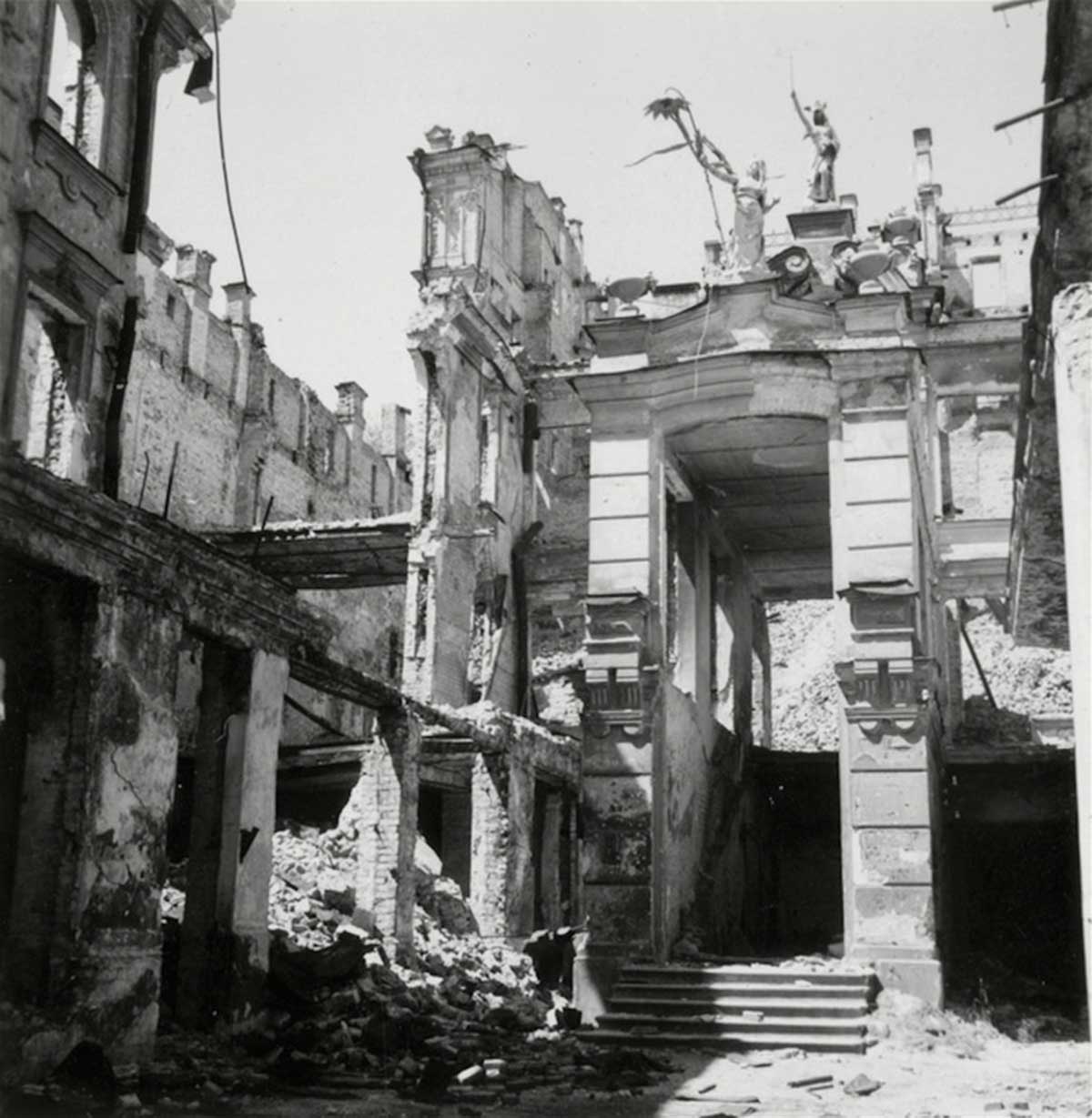
Destroyed buildings. Kyiv, 1943.
Between September 1941 and March 1944, the Reichskommissariat was administered by Reichskommissar Erich Koch. The administration’s tasks included pacifying the region and exploiting its resources and population for the benefit of Germany.
On July 17, 1941, Adolf Hitler issued a Führer decree governing the administration of the newly occupied eastern territories. Ukraine was a central theme of Nazi planning for the postwar expansion of the German state and German civilization.
In 1941, the official German press reported that the Ukrainian urban and rural population each totaled 19 million. During the Commissariat’s existence, the Germans conducted only one official census, on January 1, 1943, which documented a population of 16,910,008.
The official Soviet census of 1926 recorded an urban population of 5,373,553 and a rural population of 23,669,381—a total of 29,042,934. A new census in 1939 recorded an urban population of 11,195,620 and a rural population of 19,764,601—a total of 30,960,221.
After the war, the Nazi regime planned to encourage the settlement of German and other “Germanic” farmers in the region, while simultaneously strengthening the power of some ethnic Germans in the area. Ukraine was supposedly the homeland of ancient Germanic Goth tribes.

Kyiv Pechersk Lavra. Destroyed Assumption Cathedral.

The same cathedral.

Kyiv was heavily bombed during the invasion.

Buildings on ruins. Kyiv, 1943.
Even more ruins.

German traffic signs for the troops. Near Zaporizhia.
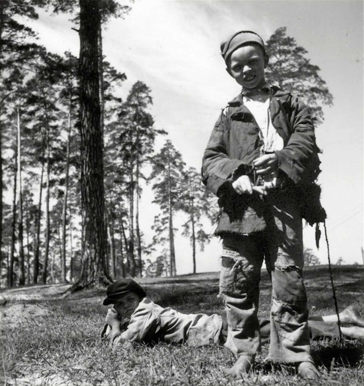
Farm boys.

A farmer sells eggs at a market near Odessa. 1943.

Farmers sell beans at a market.

Farmers’ market. 1943.
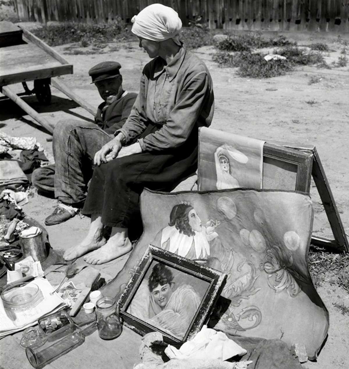
I’m trying to make money with artwork.

Farmers market.

Teacher Mr. Epp at a Black Sea German school in Blumengart. Mennonite settlement of East Prussian settlers northwest of the island of Khortytsia. Khortytsia Colony near Zaporizhia. 1943.
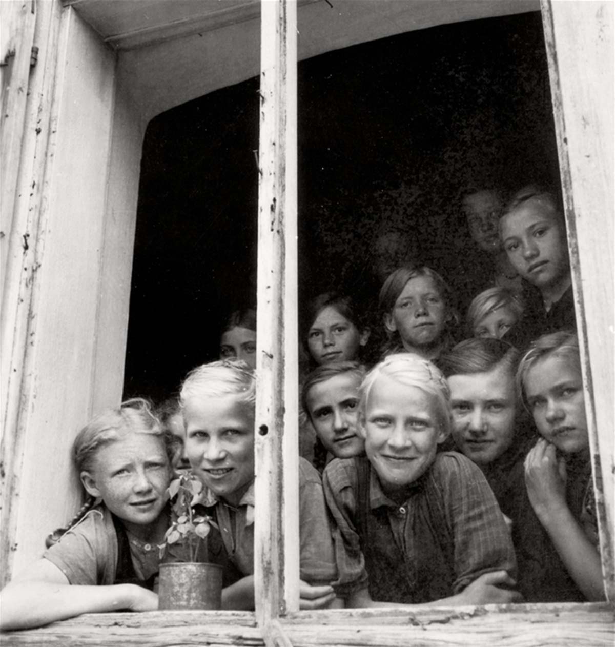
Students at a girls’ school in the colony. Mennonite settlement of East Prussian settlers northwest of the island of Khortytsia. Khortytsia Colony near Zaporizhia. 1943.

Nazi-Propagandaplakate.

A Wehrmacht soldier with a local fisherman.
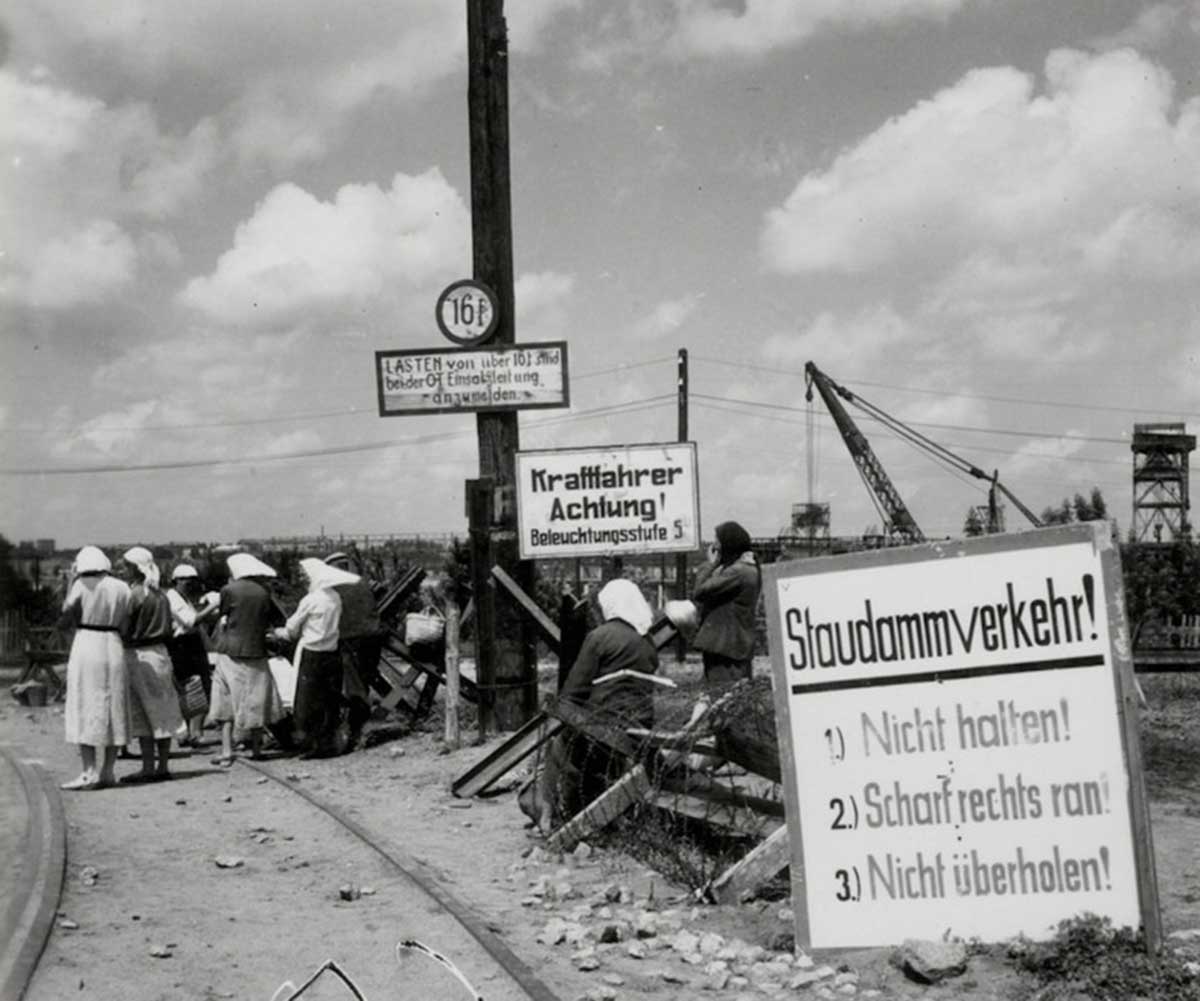
Driving and traffic safety instructions for Wehrmacht traffic.

A German soldier negotiates with a farmer (or perhaps confiscates it).
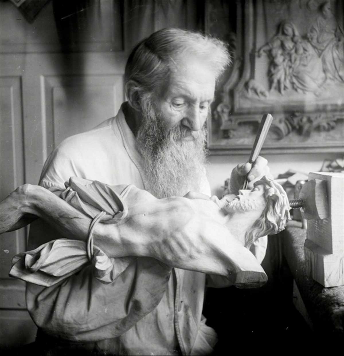
Woodcarver at the Kyiv-Pechersk Lavra.

Wehrmachtsfriedhof.

Wehrmacht military parade.

Two Wehrmacht soldiers at a vantage point on the Dnieper near Kyiv.
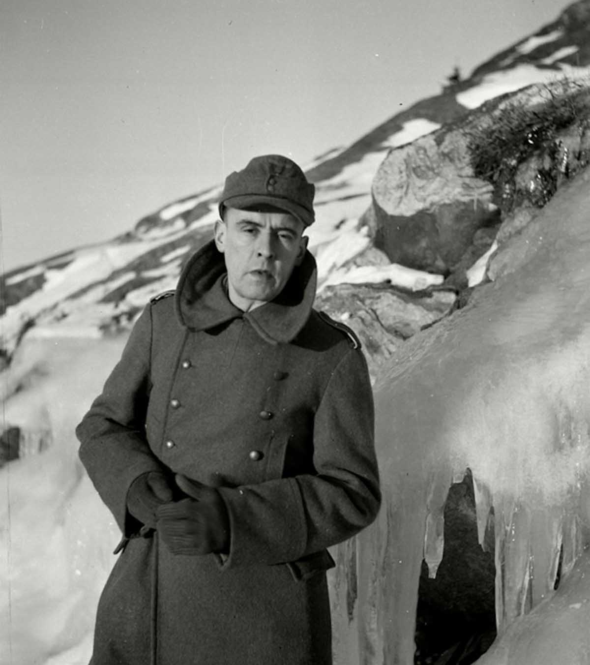
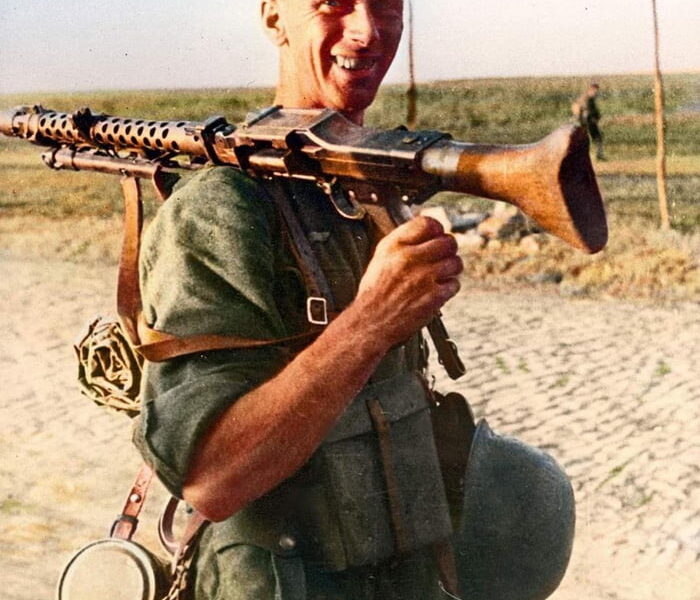
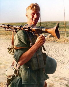
Herbert List in Ukraine, 1943.